Gozo
Beaches and bays
Every bay here is unusable in some wind. The useful question is not which beach is best, it is which one works today.
Conditions right now
Reading the live forecast for the island.
Every bay here is unusable in some wind. These numbers decide which.
- Wind
- Locals call it
- Bays that suit it
Best three right now
Filter
- baySheltered from S, SW, W
Daħlet Qorrot
A working boat bay below Nadur, with brightly painted boathouses cut into the rock and very few people.
- dive site
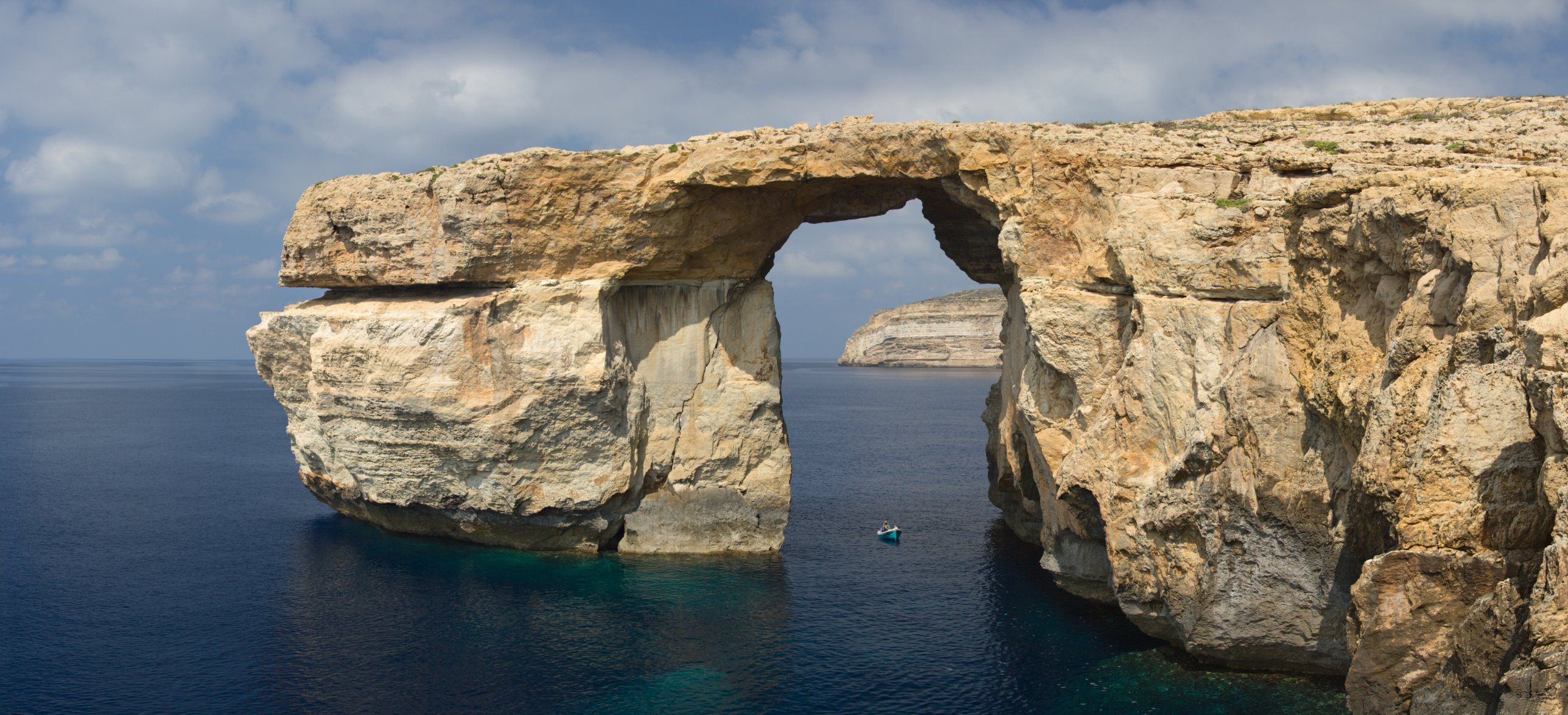 Sheltered from E, NE, SE
Dwejra
The Inland Sea, the Blue Hole and Fungus Rock on the west coast, and the best-known diving in the Maltese islands.
- rockySheltered from S, SW, SE
Għar Qawqla
Flat rock and a sea stack just east of Marsalforn, a two-minute walk from the promenade and far emptier.
- baySheltered from W, NW, SW
Ħondoq ir-Rummien
Clear water on the Qala side looking across to Comino, with a small shingle beach and rock on either side.
- baySheltered from NW, W, N
Iż-Żewwieqa
A small rocky inlet just west of Mġarr harbour, used mostly by people who keep boats there.
- baySheltered from S, SW, SE
Marsalforn Bay
Gozo's seaside town, with a small sandy beach at the head of the bay and most of the island's hotels and restaurants around it.
- bay
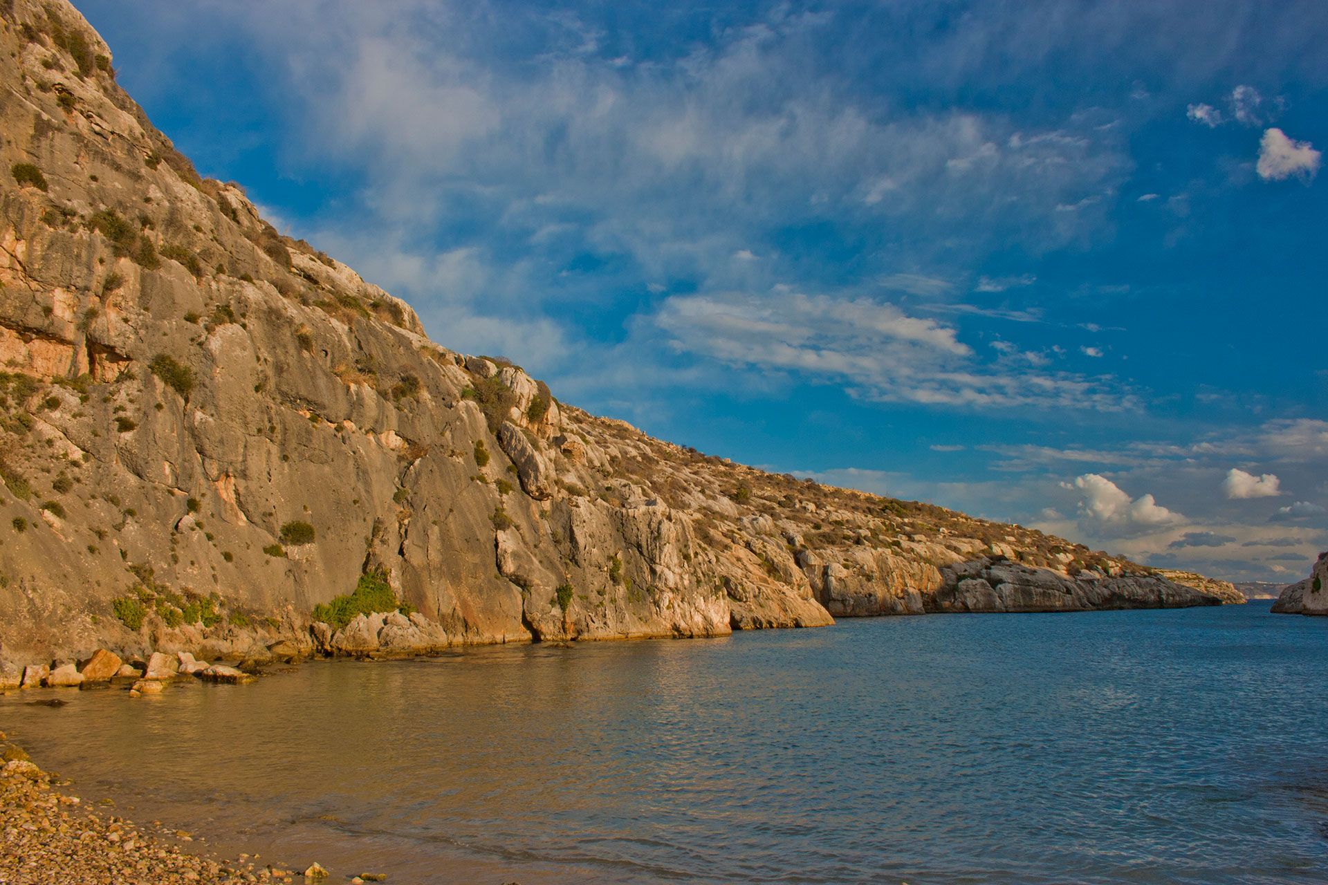 Sheltered from N, NE, NW, E, W
Mġarr ix-Xini
A long narrow inlet with a shingle beach at the end, one restaurant, and almost nothing else.
- rockySheltered from S, SW, SE
Qbajjar Bay
Flat rock and a sliver of coarse sand just west of Marsalforn, next to the start of the salt pans.
- sandy · Blue FlagSheltered from S, SW, W
Ramla l-Ħamra
Gozo's big red-sand beach, below Xagħra and Nadur, backed by open fields rather than buildings.
- dive siteSheltered from N, NE, NW
Ras il-Ħobż
A submerged pinnacle off the south coast, known to divers as the Middle Finger, with the MV Karwela wreck nearby.
- dive siteSheltered from S, SW, SE
Reqqa Point
The northernmost point of Gozo, a sheer wall dropping to fifty metres, and one of the island's best shore dives.
- sandySheltered from S, SW, W
San Blas Bay
A small red-sand cove below Nadur, reached down a road so steep that most people walk it.
- baySheltered from SW, W, S
San Filep
A tiny inlet just north of Daħlet Qorrot, with a few boathouses and almost nobody.
- archSheltered from SE, S, E
Wied il-Mielaħ
A natural window in the cliff on the north coast, quieter than the Azure Window ever was and still standing.
- rockySheltered from N, NE, NW
Xatt l-Aħmar
Rock ledges on the south coast below Għajnsielem, and the island's best shore diving.
- rockySheltered from NW, W, N
Xatt ta’ Claire
Rock ledges with ladders into deep water on the south coast below Għajnsielem.
- baySheltered from N, NE, E
Xlendi Bay
A narrow inlet between high cliffs, with the deepest easy swimming on the island and restaurants along the front.
- rockySheltered from S, SW, SE
Xwejni Bay
Flat rock, the big mushroom-shaped boulder, and the salt pans running along the shore behind.
No bay matches all of those. and start again.
Why the wind decides
Gozo is small enough that the whole island shares one forecast, and shaped so that every bay faces a different way. A northeasterly that makes Ramla unswimmable leaves Xlendi flat, and the reverse is true in a southwesterly. That is the single most useful thing to know before you drive anywhere.
Locals name the winds rather than the compass points, and you will hear all eight: Tramuntana from the N, Grigal from the NE, Lvant from the E, Xlokk from the SE, Nofsinhar from the S, Lbiċ from the SW, Punent from the W, Majjistral from the NW.
Each bay says which winds it can take and which ruin it. When the live forecast loads, the list reorders itself and every entry explains its verdict in a sentence rather than scoring it out of a hundred.
Going in the water?
The same coast reads differently with a tank on. Shore entries, the four wrecks, water temperature by month, and the rules that actually apply.